
For much of the eighteenth and early nineteenth centuries, the British coastline was a smuggler’s playground. High import duties on tea, tobacco, brandy, gin and silk meant that a single cargo could be worth more than a farm labourer earned in a lifetime. The sea offered a route that bypassed the customs house entirely, and the shore offered somewhere to hide. In Kent and Sussex, gangs known as owlers exported wool to France and brought back spirits and lace. In Cornwall and Devon, small coves and wooded valleys gave cover for landing kegs and chests. The trade was not romantic for everyone, but it was deeply woven into coastal life. Fishermen, innkeepers, farmers and even some magistrates could be drawn into the network. The coast was not a border; it was a doorway.
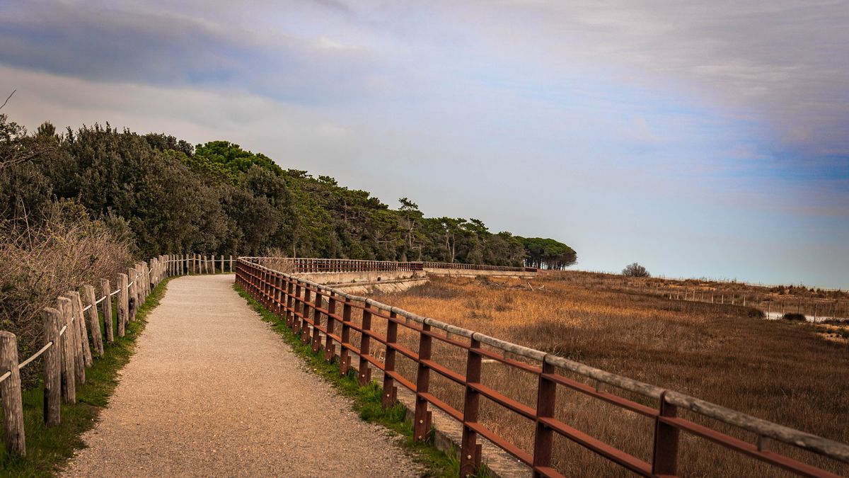
Smugglers chose landing places with care. They wanted a beach that could be reached by boat at high tide, a quick route inland, and a lookout point with a clear view of the sea. On the south coast, narrow chines and gaps in the cliffs offered steep but hidden access. In the West Country, rocky coves and slipways served the same purpose. Along the Wash and the Norfolk marshes, creeks and dykes let flat-bottomed boats creep inland under darkness. When you walk these places today, look for the physical traces.
These features are not proof on their own, but together they tell a story. A steep slipway, a hidden path and an old inn within a mile of the shore is a pattern worth following.
The inn was the smuggler’s office, warehouse and social club. A landlord could organise a landing, arrange horses, and pass word along the coast. Many old inns have cellars with false walls, hidden hatches or a “parson’s hole” where contraband could be stashed during a search. Some had stables with extra stalls, ready for the packhorses that carried tea and brandy inland. Look for inns built on a ridge above a landing beach, or at a crossroads where several routes met. A candle in a certain window, a shutter left open, or a particular sign could signal that the coast was clear. Today, these buildings are often pubs, hotels or private homes. If you visit, ask about the cellar, the old stable block or the tale of the excise men who never found the goods. The best stories are usually told by the people who live there.
Opposite the smugglers stood the customs and excise service. Customs houses were built at ports and havens, often with a king’s warehouse, a tide gauge and barred windows. Riding officers patrolled the coast on horseback, while preventive boats chased smugglers at sea. Martello towers, signal stations and watch houses were added later, especially during the Napoleonic Wars. The struggle was a cat-and-mouse game of informers, false papers, bribes and night-time chases. A seizure could mean a fortune lost; a successful run could make a village’s winter. When you see an old customs house, notice how it commands the harbour or the beach. Its wide eaves, strong doors and high windows were designed for watching as much as for storing. The building itself was a statement: the law was present, even if it was often outwitted.
You can follow smuggling routes without any special equipment, but a little preparation helps. Start with a large-scale map and a historic map of the same area. Look for the old inn, the landing place and the lanes between them. Then check the tide table: many coves are only accessible at low tide, and some paths disappear under water. Walk the route in daylight first, then return at dusk if it is safe. Notice how darkness changes the landscape. A lane that seems ordinary by day becomes a corridor of shadow at night. Carry a torch, wear sturdy boots, and tell someone where you are going. Respect private land, do not enter buildings without permission, and never climb cliffs or enter caves alone. Local museums and record offices often hold customs records, maps and newspaper reports that bring the route to life.
Smuggling left its mark on the British coast in ways that are easy to miss. It shaped the layout of villages, the position of inns, the network of lanes and the architecture of customs houses. It also left a rich layer of folklore, from ghost stories to songs about the free traders. Many of the old routes are now footpaths, and many of the old inns still serve a pint. By walking them, you are tracing a hidden economy that once ran on moonlight, local knowledge and nerve. The coast is not just a pretty edge; it is an archive written in stone, water and wood. Take your time, look closely, and let the landscape tell you where the kegs came ashore.

Hi, my name is Anthony kuber. I am artist and fashion designer.
I love to travel and writing blogging.
Your email address will not be published. Required fields are marked *
Software Developer & Writer
Hey, I'm Diva, a developer and writer blending code and creativity. I'm driven by a deep curiosity and a relentless pursuit of excellence. Join me as I craft digital solutions and captivating stories.


