
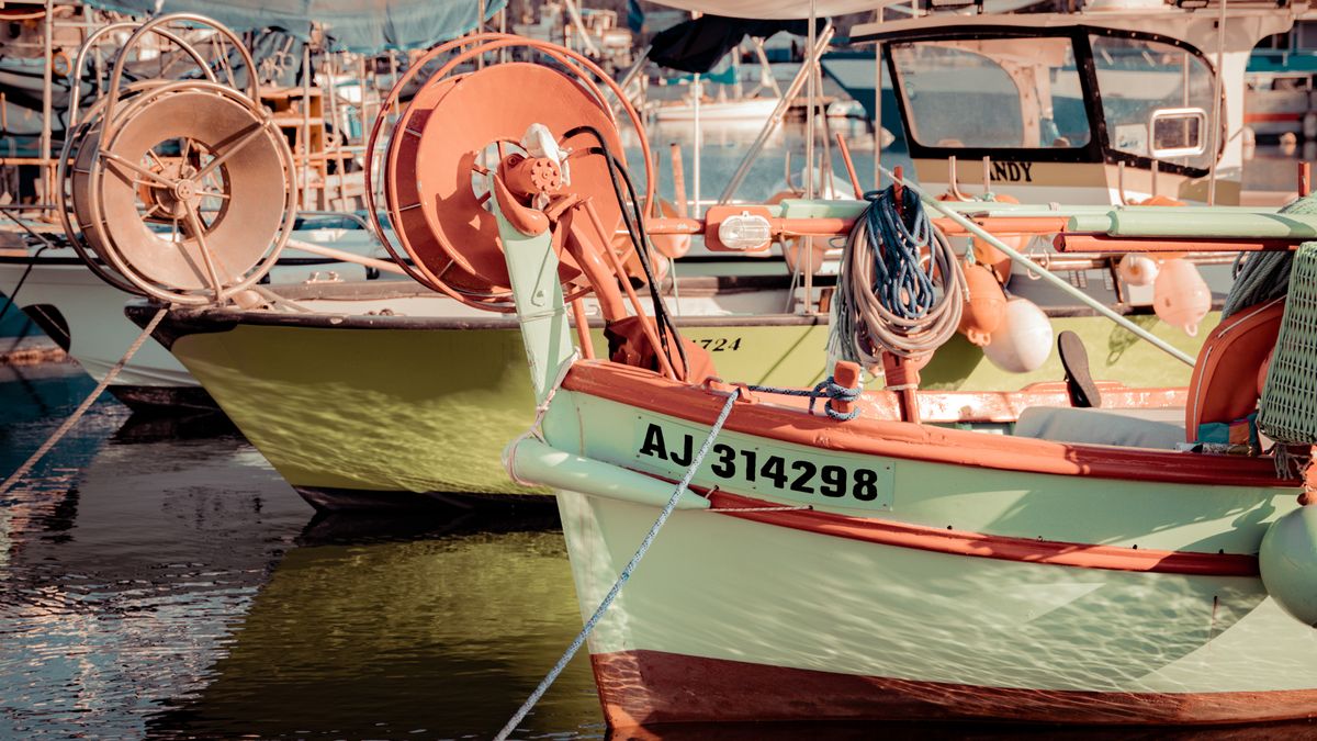
Britain’s coastline is a gift to inshore sailors: sheltered estuaries, historic harbours, creeks that dry to mud and sand, and waterfront towns where the tide still sets the rhythm of the day. A short sail from one harbour to the next can be one of the most rewarding ways to spend a few hours. But even a modest trip across a bay or up a river asks you to understand a few basics. Buoys, charts and tide tables are not bureaucratic extras; they are the practical language of the sea. Learn to read them, and you turn a nervous outing into a calm, enjoyable one for everyone aboard.
A paper chart is still the most reliable way to see what lies beneath and around you. Unlike a road map, it shows depth, drying heights, underwater hazards and the shape of the seabed. Before you leave the mooring, spend ten minutes with the chart on the table. Look at the scale, the unit of measurement, and the notes in the margins. Soundings are usually in metres and show the depth at chart datum, which is close to the lowest astronomical tide. That means the actual depth is often greater, but never assume it.
Keep a soft pencil and a note of your planned track. A chart you have marked up is a chart you understand.
Around the UK, we use the IALA Region A buoyage system. It is logical once you know the rules. When entering a harbour or going upstream from seaward, red port-hand buoys are left to port and green starboard-hand buoys to starboard. The old saying “red to port, returning to port” is a useful reminder, though the exact wording varies by region. Port-hand marks are usually cans, red, and carry a red light if lit. Starboard-hand marks are cones, green, with a green light.
Cardinal marks are your best friends when there is a specific danger. They are black and yellow, with two cone topmarks that point in the direction of safe water. A north cardinal has both cones pointing up; an east cardinal has them base to base; south points down; west points together. Their lights flash in a pattern that matches a clock face: north continuous, east three flashes, south six plus a long flash, west nine flashes. Safe-water marks are red and white with a single red sphere topmark, often marking a channel entrance. Isolated-danger marks sit on top of a hazard with two black spheres. Special marks are yellow and mark something like a cable, a racing line or a sewage outfall.
Do not guess. If you are unsure of a mark’s meaning, slow down, check the chart, and give it a wide berth. A few seconds of caution beats an hour of stress.
The tide changes everything inshore. A passage that is straightforward at high water can become a muddy trap at low water. Tide tables give you high and low water times and heights for standard ports, with corrections for secondary locations. Learn to read them alongside a tidal stream atlas or the tidal diamonds on your chart. The rule of twelfths helps you estimate depth at any time: in the first hour after low water, the tide rises one-twelfth of its range; in the second hour, two-twelfths; in the third, three-twelfths; then three, two, one. It is an approximation, but a good one.
Good navigation starts at the kitchen table. Pick a destination that suits the day, the crew and the boat. Check the weather forecast, then the tide, then the chart. Plot a simple route with a few waypoints. Identify any hazards, headlands, shoals or busy channels. Note the buoys you expect to see and the transits that will keep you in safe water. Write a short passage plan: departure time, expected arrival, alternative harbours, and a point where you will turn back if conditions change.
On board, brief everyone. Life jackets on, a quick word about where the safety equipment lives, and a reminder to keep a lookout. Carry a hand-bearing compass, a depth sounder if you have one, and a VHF radio. Tell someone ashore where you are going and when you expect to be back. If you have a GPS, use it as a helper, not a replacement for your eyes and your chart. A quick look at the chart every twenty minutes keeps you ahead of the boat.
Start with short, familiar trips in good conditions. Practise taking a bearing on a known buoy and comparing it with the chart. Watch how the tide sets you sideways. Learn the feel of your boat when the depth drops. Each small outing adds to your confidence. British coastal heritage is full of sailors who learned exactly this way: one harbour at a time, one tide at a time. With a chart, a tide table and a respect for buoys, you will keep your inshore sailing safe, enjoyable and full of quiet discovery.

Hi, my name is Anthony kuber. I am artist and fashion designer.
I love to travel and writing blogging.
Your email address will not be published. Required fields are marked *
Software Developer & Writer
Hey, I'm Diva, a developer and writer blending code and creativity. I'm driven by a deep curiosity and a relentless pursuit of excellence. Join me as I craft digital solutions and captivating stories.


